
The Geology of the Serengeti National Park is closely linked to the interior high plateaus of the region. Much of the Serengeti landscape was shaped by earth movements and volcanic activity over a long period of time. The raised areas of the Serengeti give wide views across the plains and play an important role in how water, soil, and wildlife are distributed.
The highest point around the Serengeti area reaches about 3,636 meters above sea level. The lowest point is about 920 meters above sea level and is found at the Speke Gulf on Lake Victoria. This large difference in elevation shows how varied the land structure of the Serengeti region is.
Most raised land features such as hills in Serengeti National Park were formed through volcanic activity. One of the most important volcanic features in the region is Ol Doinyo Lengai. This mountain gets its name from the Maasai language and means Mountain of God. Ol Doinyo Lengai is the only active volcano in the area. Its presence shows that volcanic forces still influence the geology of the Serengeti National Park today.
The western part of Serengeti National Park has a clear slope. The land drops from about 1,850 meters above sea level near the Ngorongoro Crater area to about 1,000 meters above sea level toward Lake Victoria. The rest of the park is mainly made up of open plains with smaller hills spread across the landscape.
The northern part of Serengeti National Park has a chain of hills that stretches from Grumechen through Kuko and continues to the Loita Hills in Kenya. The eastern side of the park includes the Gol Mountains. This area is also influenced by the Great East African Rift Valley, which plays a role in shaping the land of the Serengeti. Several hills are found throughout the park, including Kuria Hills, Grumeti Hills, Makoma Hills, Ikoma Hills, and Naabi Hills.
Kuria Hills
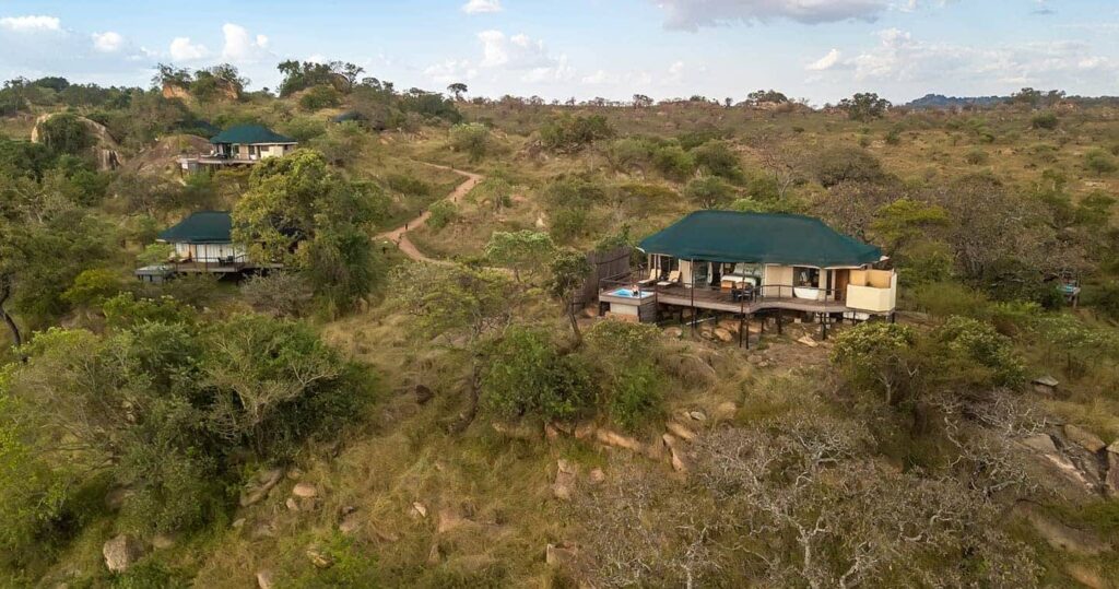
Kuria Hills are found near the Wogakuria Hills in the northern part of the Ngorongoro Conservation Area. These hills are covered with woodland vegetation and act as a water source for nearby areas. Kuria Hills are close to the Kenya border near Maasai Mara and are about 15 minutes from Kogatende Airstrip. Lodges near these hills offer clear views of the Serengeti plains.
Grumeti Hills
Grumeti Hills are the highest hills in Serengeti National Park. They are located about two kilometers from the Grumeti River. This river is very important during the wildebeest migration. The river has large crocodiles, and many visitors watch as wildebeests cross the water when leaving and returning to the Serengeti. Grumeti Hills are part of the Grumeti Wildlife Management Area.
Makoma Hills
Makoma Hills are known for predators such as cheetahs, lions, and hyenas. The open land makes it less suitable for leopards, which prefer areas with more cover. Because many predators share a small area, there is strong competition for prey. The hills are covered with woodland and attract giraffes, elephants, and buffaloes. Makoma Hills are located near the Thatch Kopjes.
Ikoma Hills
Ikoma Hills are only a short drive from Seronera Airstrip and Grumeti Airstrip. Their location places them close to the Grumeti River. These hills lie between Grumeti Game Reserve and Ikorongo Game Reserve in the north western Serengeti. Wildlife moves freely through this area during migration seasons.
Naabi Hills
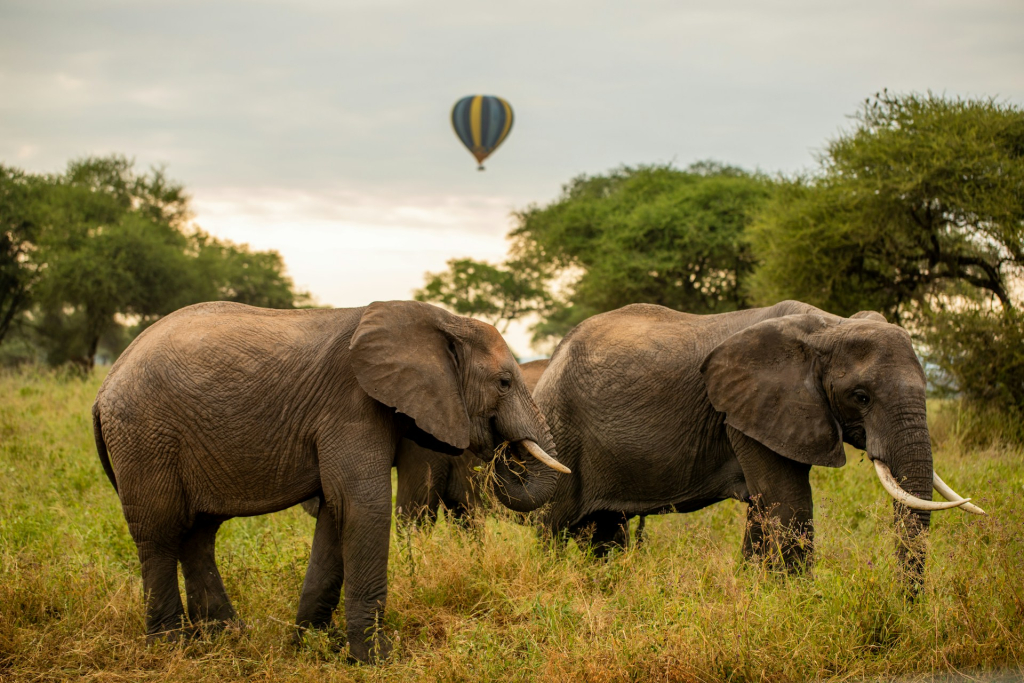
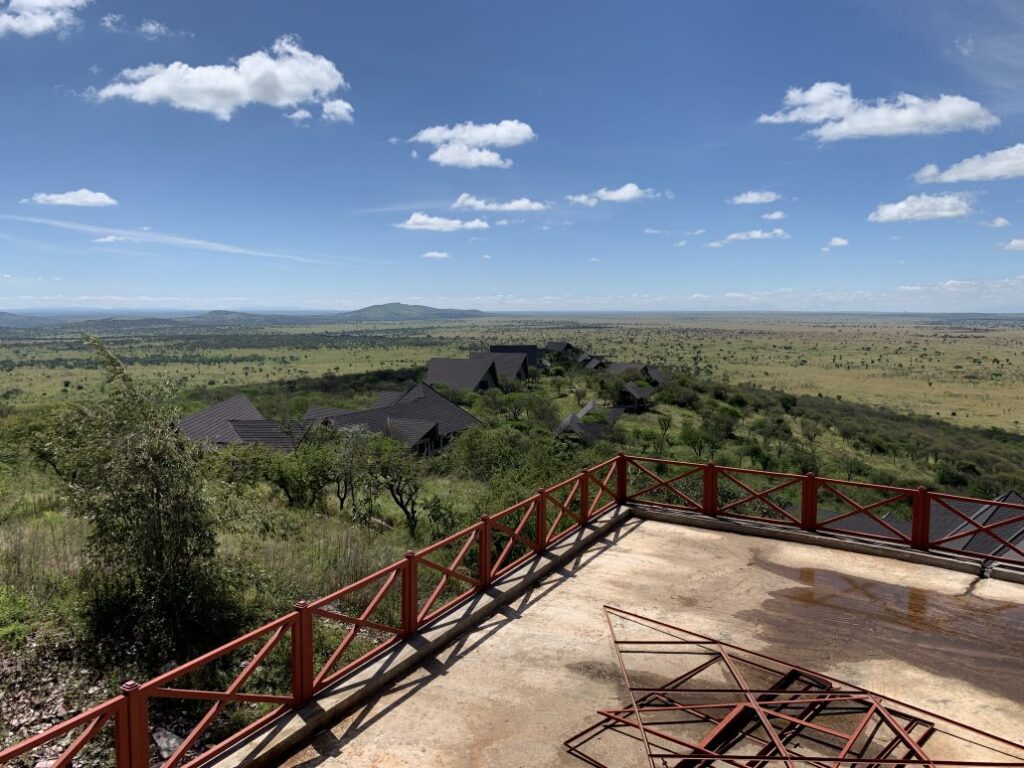
Naabi Hills are located in the short grass plains of Serengeti National Park. Hot air balloon safaris are launched from this area. From the top of the hills, visitors can see wide sections of the plains. The base of Naabi Hills attracts elephants, antelopes, and giraffes, which also draw lions. The hills lie along the main route of the wildebeest migration.
The geology of the Serengeti National Park shapes its plains, hills, water flow, and wildlife movement. These natural land features are a key reason why the Serengeti supports large animal populations and remains one of the most important protected areas in Africa.


