
Altitude and Geology of Serengeti are key features that shape the landscape, wildlife movement, and natural systems of Serengeti National Park. The park has a wide range of elevations and a long volcanic history that explains the open plains, rocky hills, and river systems found across the area.
Altitude of Serengeti National Park
The altitude of Serengeti National Park ranges between about 1,600 meters and 1,800 meters above sea level. The lowest point of the Serengeti lies close to the Speke Gulf of Lake Victoria, at around 920 meters above sea level. The highest surrounding areas rise to over 3,600 meters above sea level in nearby highlands outside the park.
This variation in altitude affects rainfall patterns, vegetation, and wildlife distribution. Lower areas near rivers and lakes hold water for longer periods, which attracts animals during dry months. Higher areas are cooler and support different plant growth. The altitude also supports the long distance movement of animals during the annual migration.
Geology of Serengeti National Park
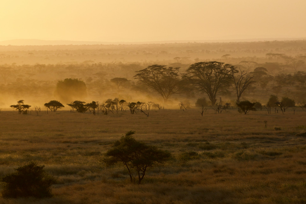
The geology of the Serengeti is strongly linked to volcanic activity that took place millions of years ago. Much of the western Serengeti sits on ancient volcanic rock that is over 2.5 million years old. These rocks are mineral rich and support grass growth that feeds large herds of grazing animals.
The eastern plains of the Serengeti have soils formed from volcanic ash. These soils contain minerals such as sodium, potassium, and calcium. While the soil is shallow, it supports short grass that is important for wildebeests and zebras, especially during calving seasons.
A major geological feature near the Serengeti is Ol Doinyo Lengai. This volcano is still active and last erupted in 2013. Its eruptions added ash to the surrounding plains, shaping soil structure and mineral content. This volcanic activity continues to influence the geology of Serengeti today.
Hills, Rivers & Rock Formations
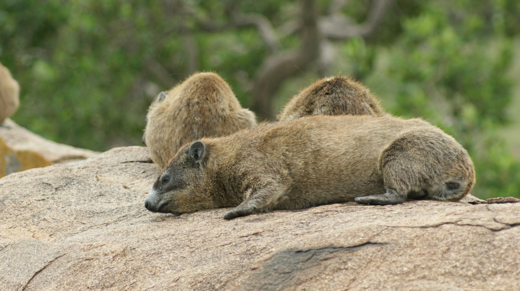
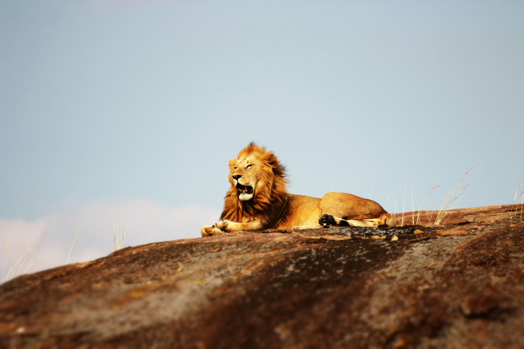
The Serengeti plains are broken by scattered hills and rocky outcrops known as kopjes. These features rise sharply from the flat land and provide shelter for animals such as lions and leopards.
The park is also a catchment area for several rivers. The Mara River flows from Kenya into the Serengeti and supports forested river banks. Other rivers include the Mbalageti, Duma, Simiyu, and Semu rivers.
In summary, the Altitude and Geology of Serengeti explain why the park supports large wildlife populations, open grasslands, and long migration routes that define this famous ecosystem.


